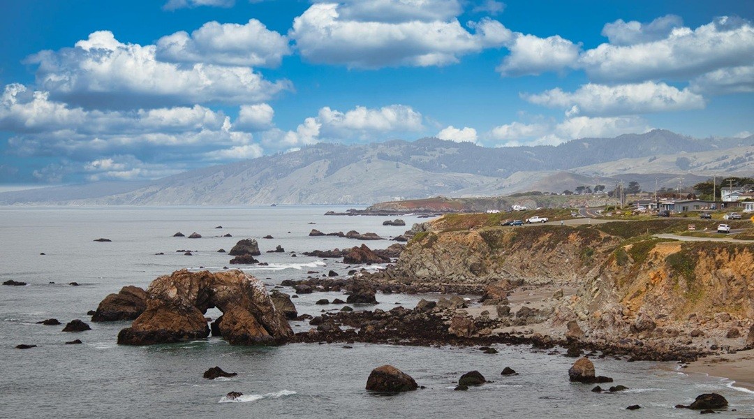
Wind and waves get the credit. The blame too. They look violent enough, crashing against the edge of the continent day after day.
But land moves. It doesn’t always quake, but it rises and it falls.
That slow heave of the Earth is reshaping the coastlines of the US West Coast far more than anyone thought. Current models are blind to it, missing a huge chunk of why cliffs crumble and beaches vanish.
The Missing Piece in Erosion Science
Half the world’s coastline is rocky. Tectonic plates shift. Waves hammer away. It seems simple enough.
For years, geologists looked at this on a geological clock. Millennia. Deep time. Tectonics push the land up over ages while waves chew it back. Decades? Centuries? Too fast. Too noisy. Too understudied.
Cesar Lopez and Claire Masteller at Washington University in St Louis disagreed.
They wanted to see how geology works on a human timeline. Decades to centuries. The messy, unpredictable in-between.
They focused on the bluffs of the US Pacific Northwest and California. Wave-battered. Exposed. Dangerous.
They needed to measure everything.
Wave energy? Checked. Forty-three years of hourly data from 51 virtual buoys, courtesy of the US Army Corps of Engineers. Rock strength? Analyzed via lab tests and regional maps. Tides? Pulled from NOAA archives.
The coastline itself? They compared shoreline positions going back to the late 19th century using USGS records. That is how you see retreat.
And the tectonics? This was the hard part.
They needed uplift rates. Not just one kind. They looked at three scales at once.
Millennial-scale uplift from dating old marine terraces.
Decadal shifts calculated from tidal gauge trends in sea level.
Daily movement tracked by GPS stations planted directly on the ground.
Then they fed it all into a machine learning model. No more guessing which factor matters more. The code would score them.
Waves Aren’t Enough
Here is the result.
Only 32% of coastline erosion behavior depended on rock hardness or the slow, long-term rise of the land.
68% came from something else.
Wave power. Yes. But also daily sea-level changes. And decadal land uplift.
The rock doesn’t care how strong it is if the water finds the right height. Location and timing of the wave matter more than the durability of the stone.
Tectonic movements decide what the waves can reach.
It is a cycle.
Between major quakes, the land slowly rises. It lifts out of the splash zone. The waves hit lower. Erosion slows. The rocky shelf—the shore platform—stays narrow.
Then comes the quake.
The Cascadia Subduction Zone could drop the land violently.
Suddenly the cliff drops.
New rock gets exposed. Waves slam into fresh surfaces. Erosion accelerates. The rocky platforms widen.
It is not random.
It is a seismic rhythm. Up. Slow erosion. Down. Fast erosion. Up.
An Open Warning
The researchers put it clearly. The earth surface repeats its rise and fall. It is an earthquake deformation cycle.
This is the “memory” of the land. It dictates whether marine processes amplify or dampen.
Does this matter?
Look at the Pacific Northwest. Dense housing. Infrastructure built right on the edge of rocky cliffs.
The Cascadia Subduction Zone has been quiet for too long. When it snaps, the ground will drop.
Sea levels are already rising. The limited uplift that protects coasts between earthquakes will vanish. There is no buffer left.
“Current coastal erosion forecasts rarely account for geomorphic consequences of rapid land-level changing”
Lopez and Masteller point out that hazard assessments are incomplete without this. We need models that link tectonics directly to shoreline evolution. Not just as footnotes, but as driving forces.
We keep building. The plates keep shifting.
Who is tracking the drop?